|
Andante's Sailing Blog February 2014 BLOG Table of Contents |
|||||||||||||||||||||||||||||||||
|
Back to January 2014 Ahead
to March 2014 |
|||||||||||||||||||||||||||||||||
|
February 1, 2014 |
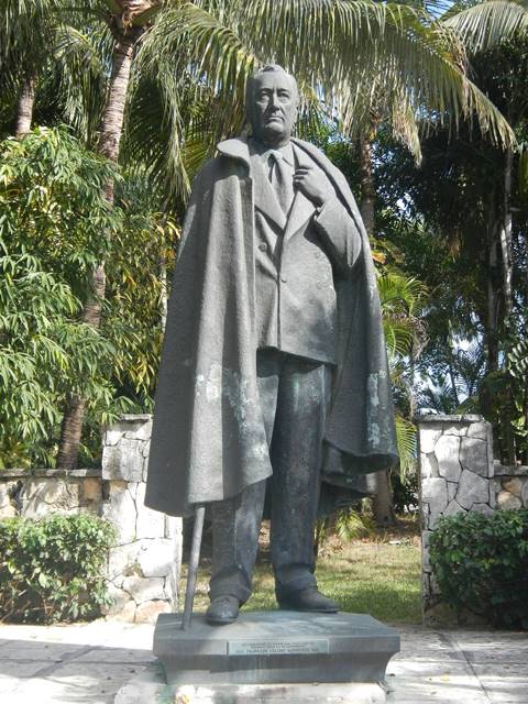
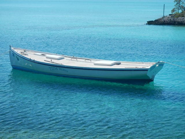
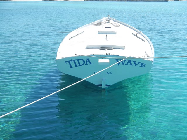
Philadelphia to Nassau |
||||||||||||||||||||||||||||||||
|
Yahoo! Left the snow and ice
behind. |
|||||||||||||||||||||||||||||||||
|
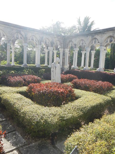
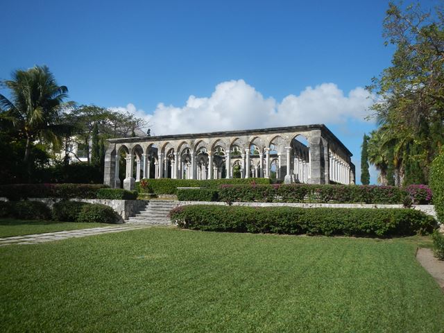
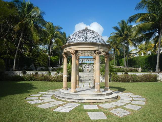
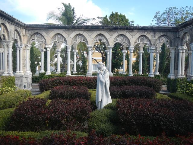
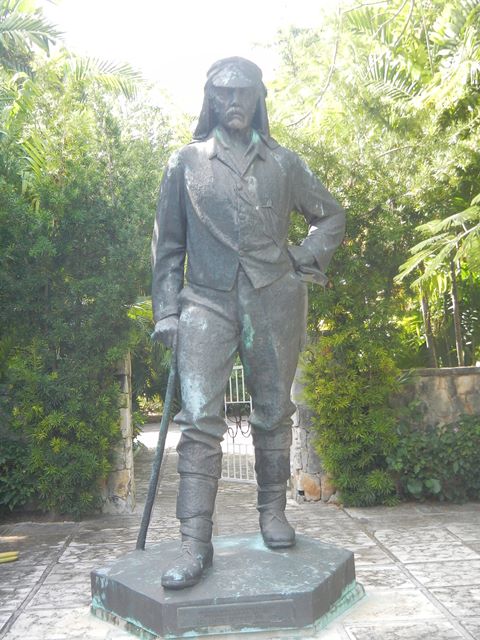
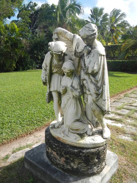
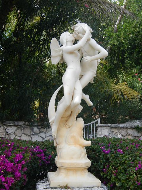
February 2, 2014 Sunday |
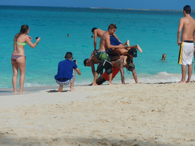
Sightseeing in Nassau |
||||||||||||||||||||||||||||||||
|
|||||||||||||||||||||||||||||||||
|
February 3, 2014 Monday |
Nassau to Shroud Cay |
||||||||||||||||||||||||||||||||
|
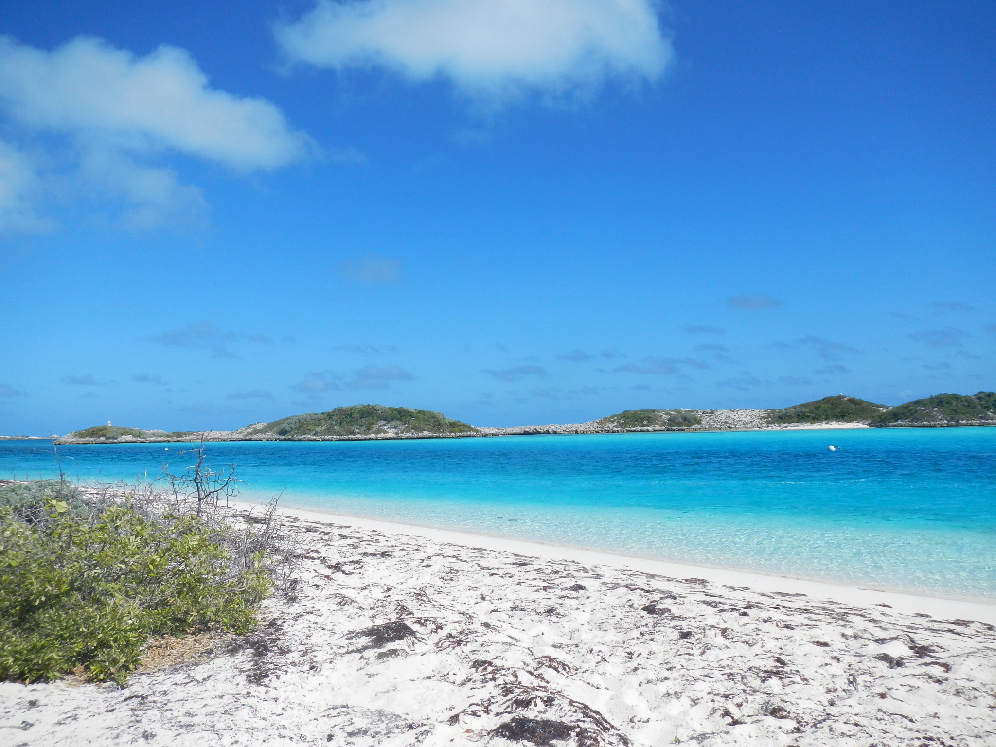
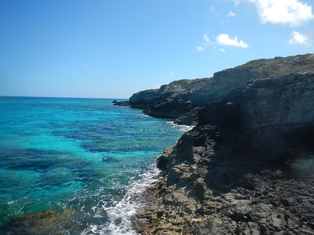
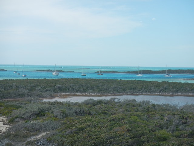
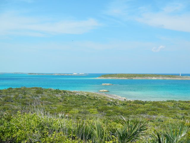
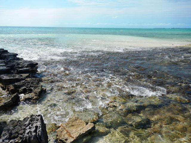
Today the
weather forecast was such that today looked like the best day to head for the
Exuma chain. At that it was a close hauled motor
sail. It seems that no day this year is without at least a minor mishap.
While going about the business of raising the main off Porgee
Rocks the halyard pulled out of my hand and the shackle jumped out of its
loop. But, today turned out to be my lucky day. I tied off the halyard and
got down on my hands and knees and found the shackle on the cabin top lodged
under one of the fenders. It was a miracle that it didn't jump overboard.
However, all was not to end well. During the night anchored off Shroud Cay I
dragged anchor, waking up in the morning just before I came up on another
anchored boat. Now the
errant shackle is leashed to halyard so that it doesn't try to take another
swim. My solution to the shackle jumping out of its loop was to use cable
ties to restrict its movement.
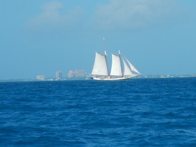
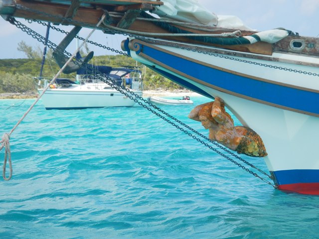
The
schooner shown here is a does day sail trips out of Nassau for the tourists.
Sea Mist
was one of the few boats departing Nassau with me. They also anchored of
Shroud, but hurried quickly on the next day.
|
|||||||||||||||||||||||||||||||||
|
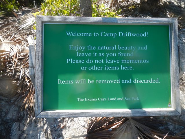
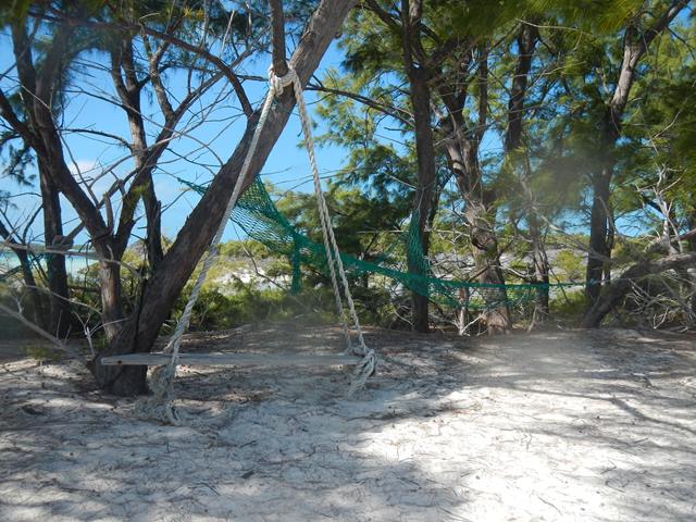
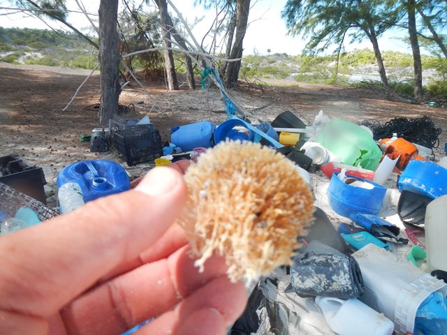
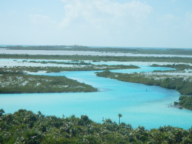
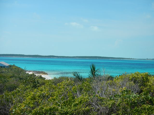
February 4, 2014 |
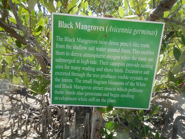
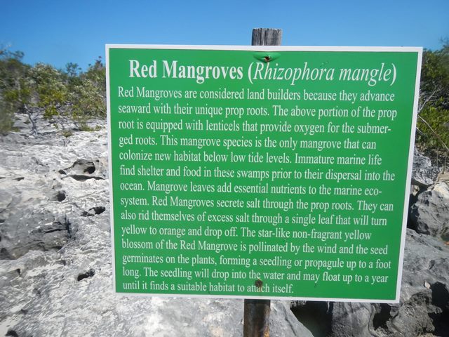
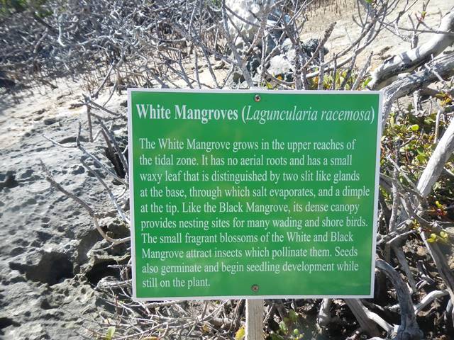
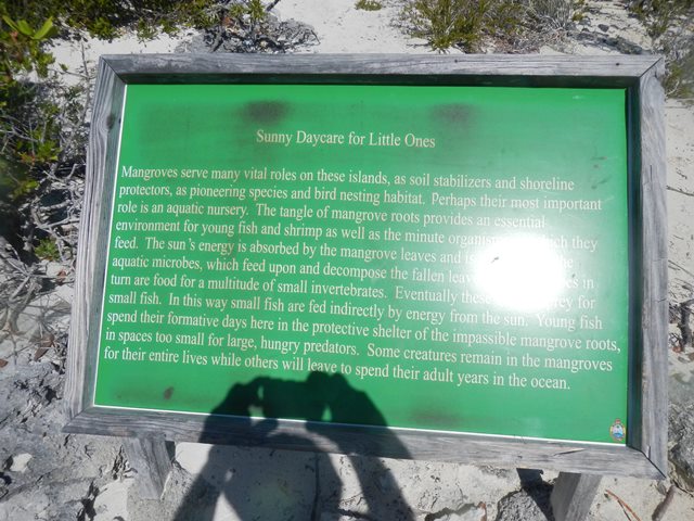
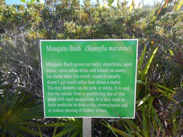
Visiting the Mangroves on Shroud |
||||||||||||||||||||||||||||||||
|
|||||||||||||||||||||||||||||||||
|
February 5, 2014 Wednesday |
Shroud Cay to Hawksbill Cay |
||||||||||||||||||||||||||||||||
|
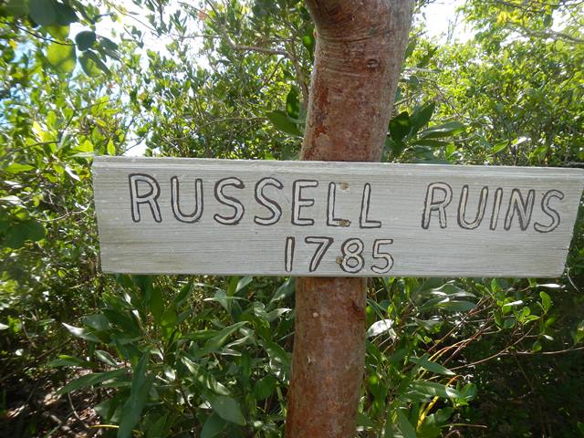
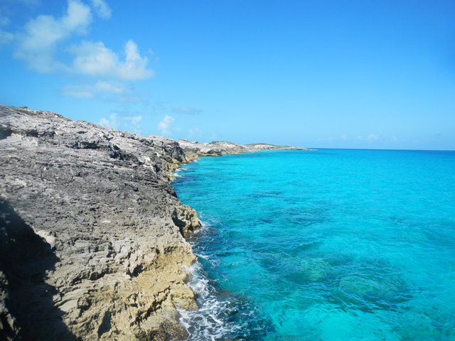
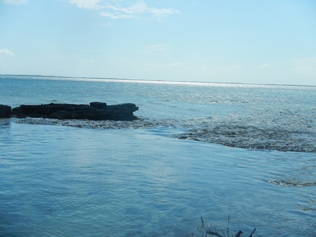
Beautiful sail to windward, one tack, at over 6 knots all the way. It was a short sailing day, only 7 nm. With the whole day free I hiked up to the Russell Ruins. At the end of the day I had dinner with Yves and Elaine on Velvet.
|
|||||||||||||||||||||||||||||||||
|
February 6, 2014 Thursday |
Hawksbill Cay to Warderick Wells |
||||||||||||||||||||||||||||||||
|
Sailed close hauled for the
21 nm in 10 to 14 knots of apparent wind. Seas were calm. |
|||||||||||||||||||||||||||||||||
|
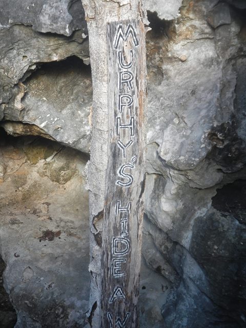
February 7, 2014 |
Warderick Wells |
||||||||||||||||||||||||||||||||
|
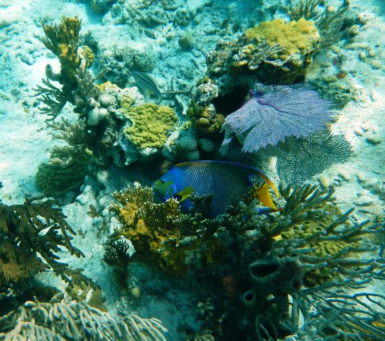
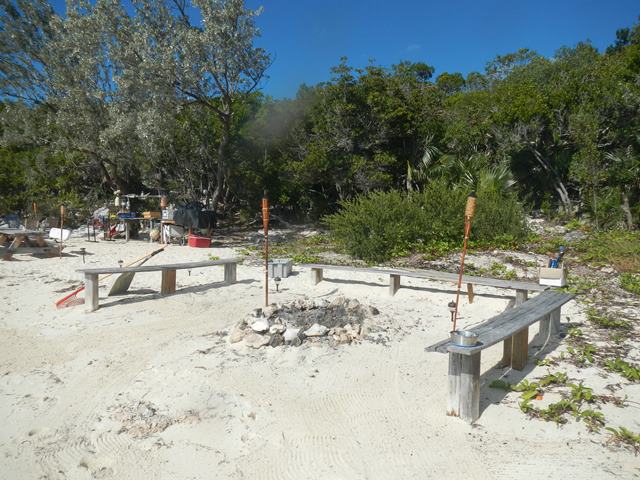
Changed the primary fuel filter. It was BLACK after 90 hours. The suggested interval between changes is 150 hours.Seems that perhaps my fuel problems are not over. In the afternoon I snorkeled on the Coral Garden. The Garden is on the edge of the mooring field below the Park headquarters. I am making these entires retrospectively. At the time of this writing the Park administrator was reported to have moaned that the silly cruisers were feeding the sharks. This year folks have reported seeing Lemon, Reef and Bull sharks in their.
|
|||||||||||||||||||||||||||||||||
|
February 8, 2014 |
Warderick Wells |
||||||||||||||||||||||||||||||||
|
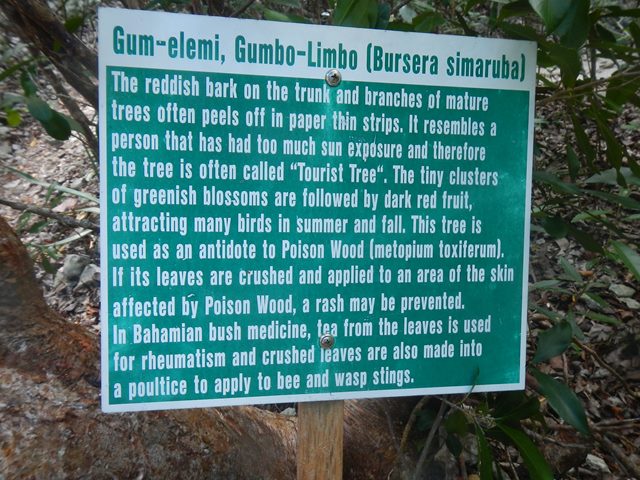
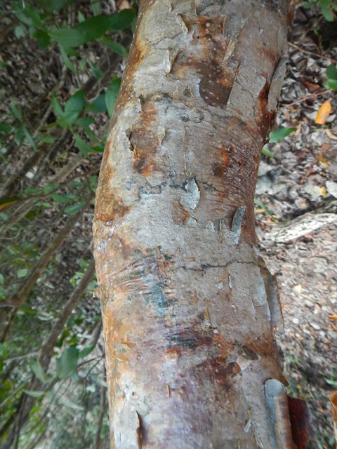
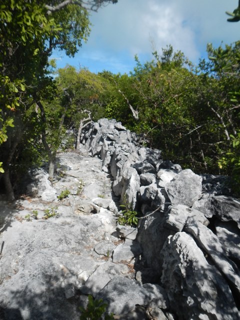
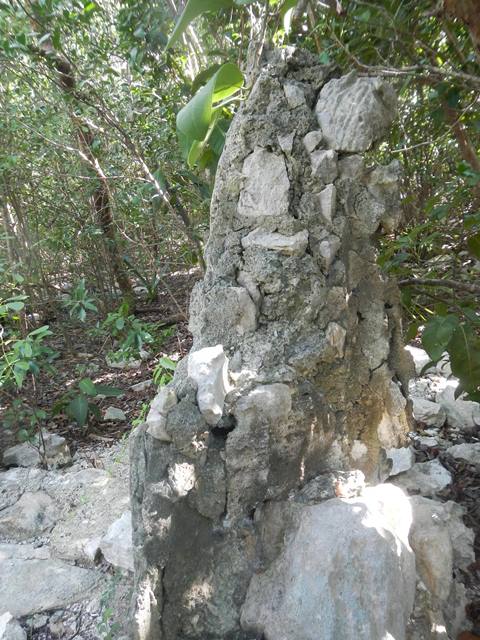
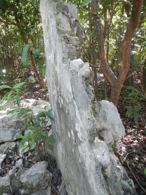
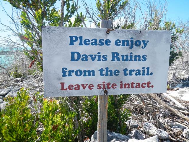
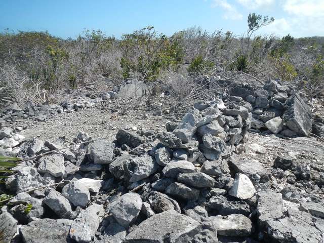
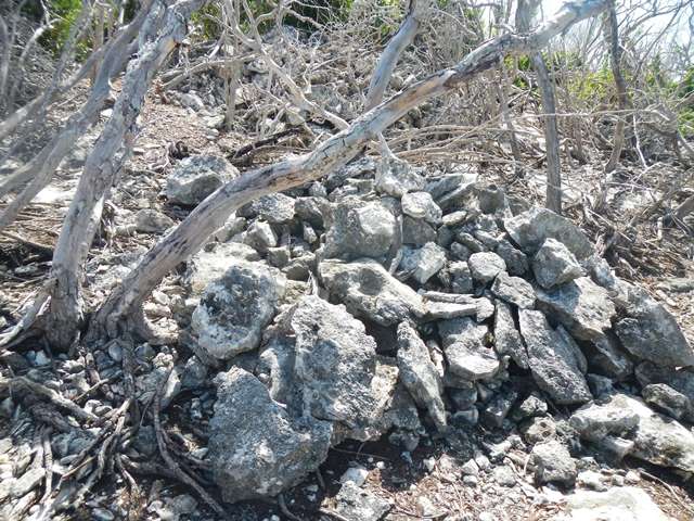
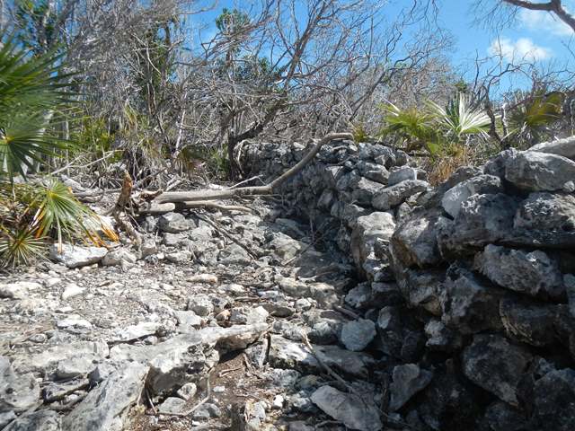
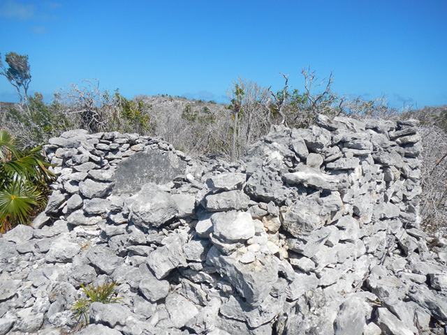
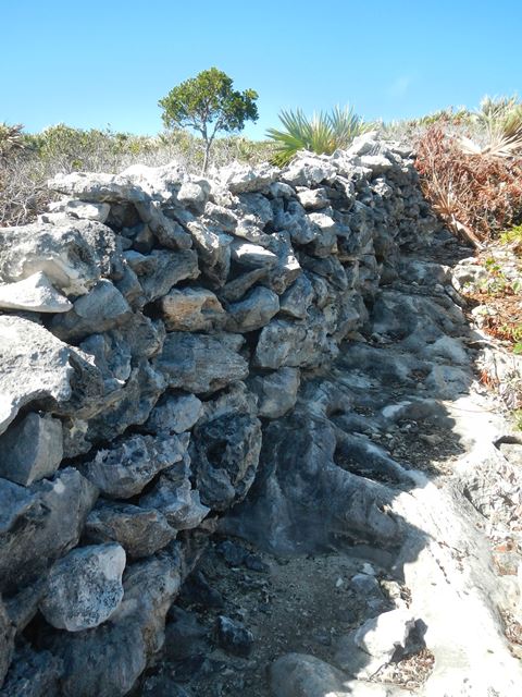
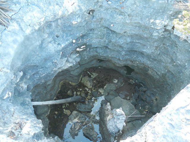
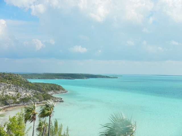
Went on a 5 hour hike around the island. Went south on the Exuma Sound side down to Pirate's Lair. It was hot day so I went skinny dipping. Don't worry, the only people to see the naked, saggy, old man were the 27 virgins in string bikinis. After the swim I went back up tothe "Wall" to head to the west side of the island to see the Davis Ruins. The "wall" is a stone wall that runs across the island, Reminiscent of Hadrians Wall across England.
After the Russell Ruins and the Davis Plantation Ruins one can only ask 'What were they thinking?' If you read 'Wind from the Carolinas' one of the things you will learn is that the loyalists were often staunch loyalists and they felt there was not a chance for remaining in the colonies. Additionally they had no resources to leave for England. |
|||||||||||||||||||||||||||||||||
|
February 9, 2014 Sunday |
Warderick Wells to Cambridge Cay |
||||||||||||||||||||||||||||||||
|
It was another windward sail. In order to cover the 7 nm as
the crow flies I sailed 18 nm. In the afternoon I did a drift snorkel on
Larry's Reef with the crews from Spartina and Togwattee. At the end of the day there was a cocktail
hour on the 'Fee Box Cay' with many of those in the mooring field. Later I
had dinner with the Claiborne, MD crowd. |
|||||||||||||||||||||||||||||||||
|
February 10, 2014 Monday |
Cambridge Cay |
||||||||||||||||||||||||||||||||
|
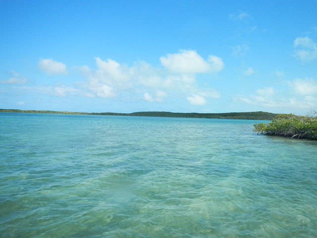
The Claiborne crowd departed for Warderick Wells. Surprisingly I was able to get email in this remote location via the BATELCO cell network. Today I also snorkeled on Bonsai Cay. The tidal current was running pretty fast so I didn't stay in the water too long. Also walked out to Bell Rock on the Exuma Sound side.
|
|||||||||||||||||||||||||||||||||
|
February 11 - 12 Tuesday and
Wednesday |
Cambridge Cay |
||||||||||||||||||||||||||||||||
|
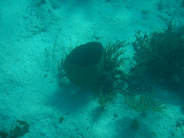
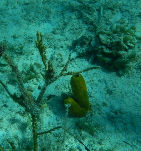
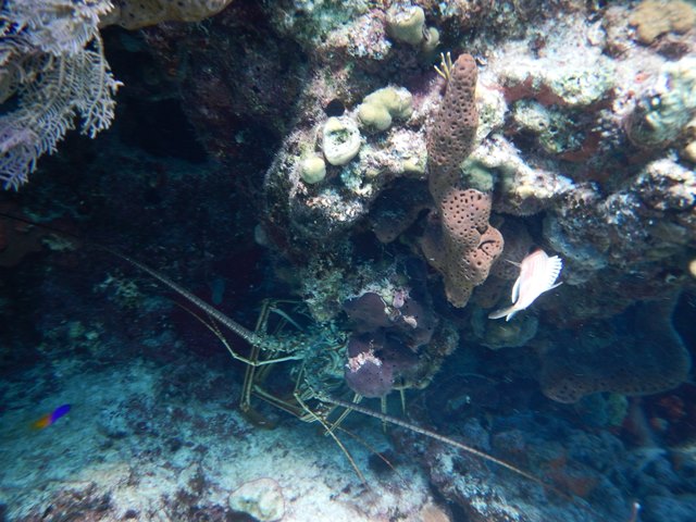
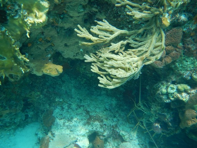
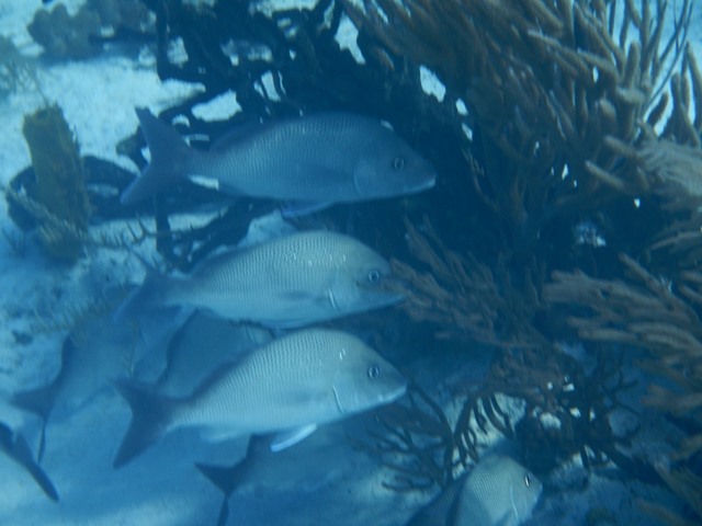
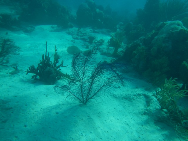
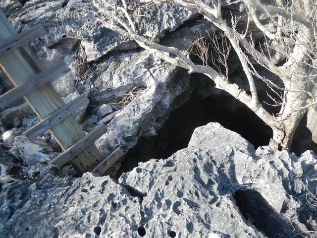
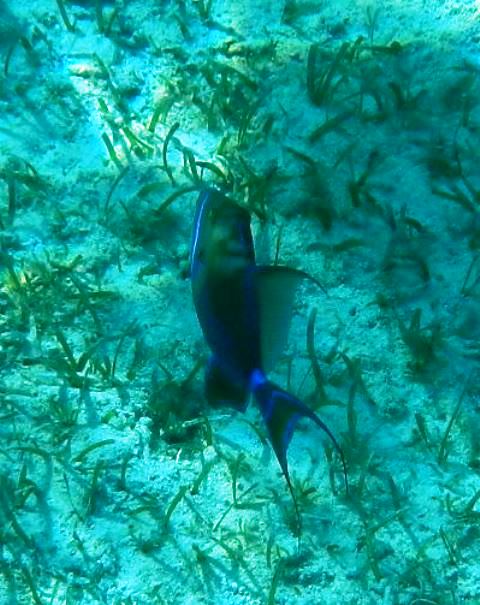
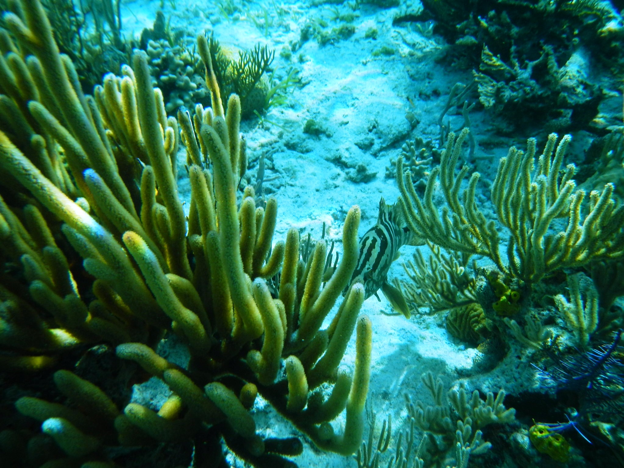
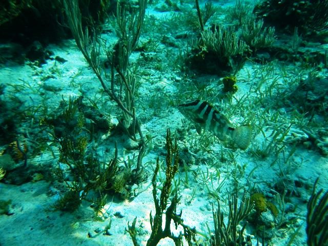
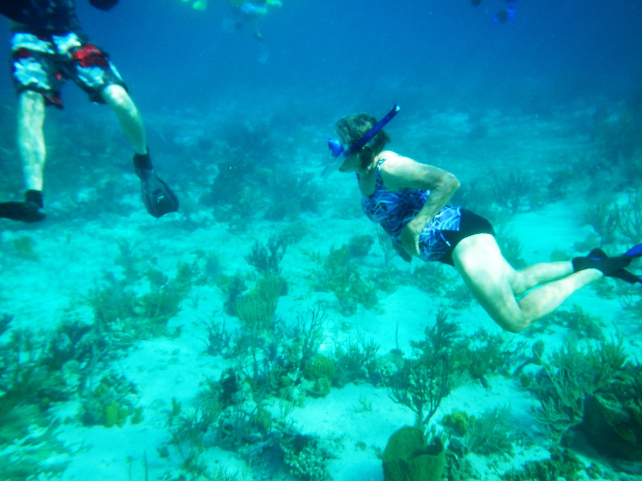
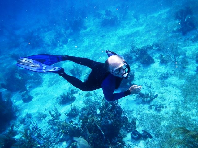
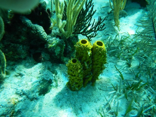
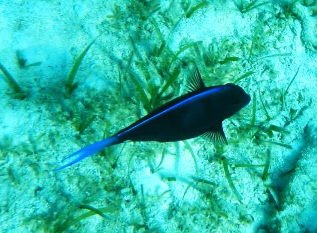
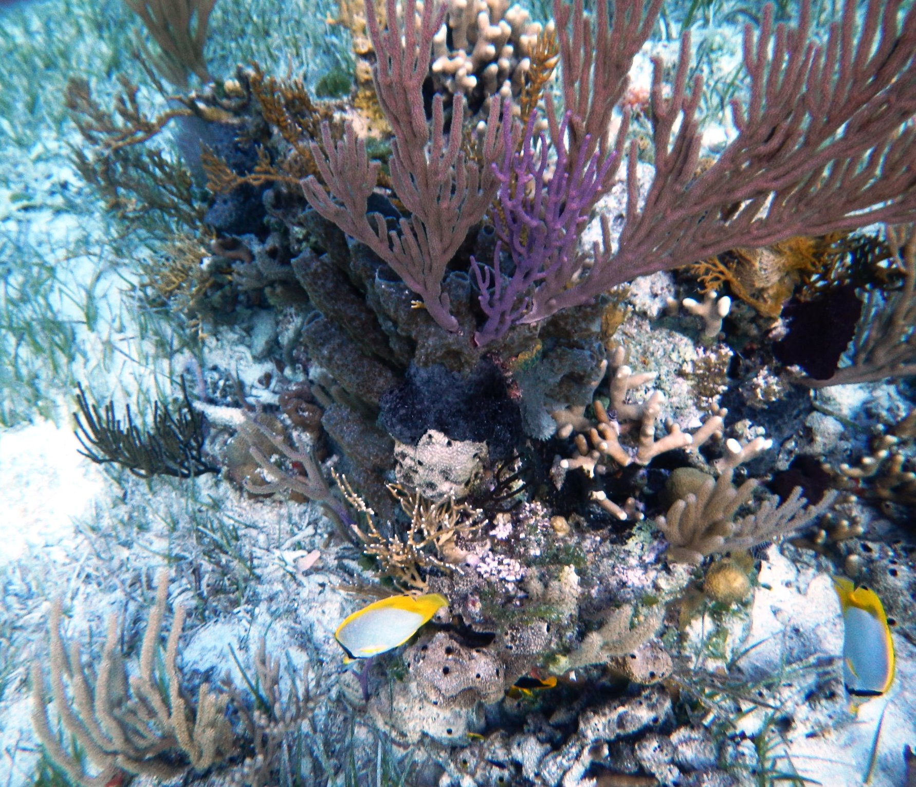
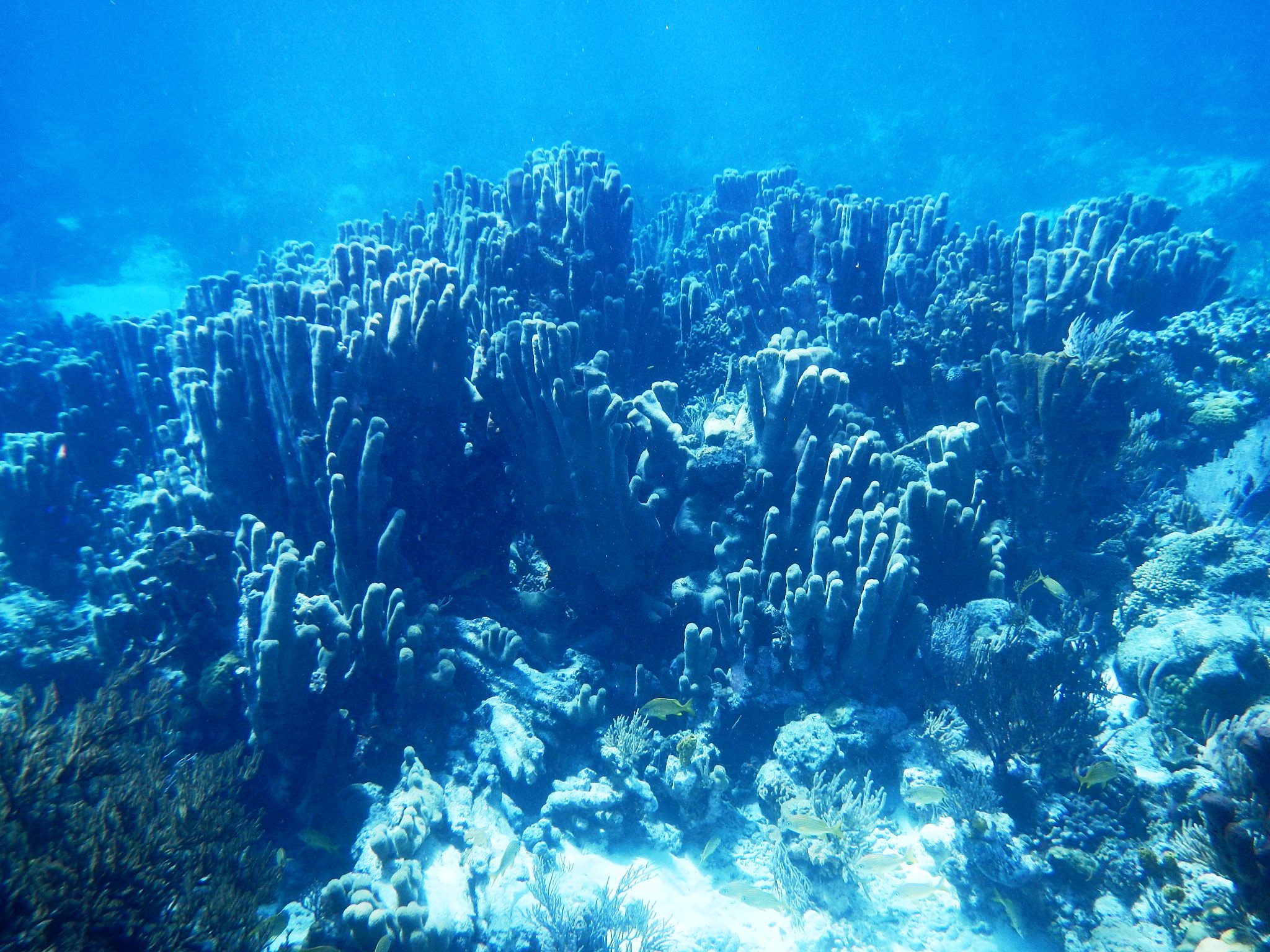
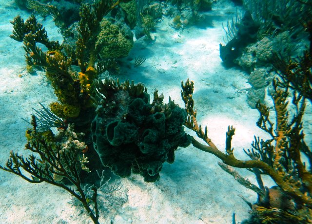
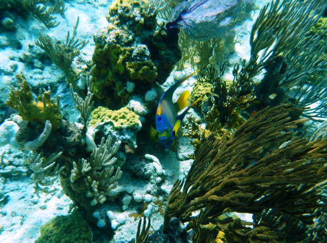
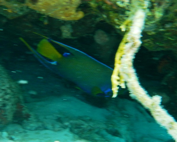
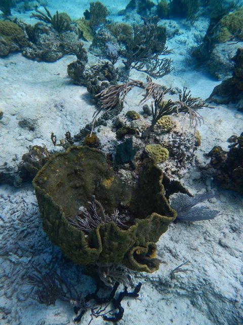
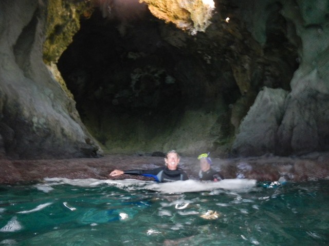
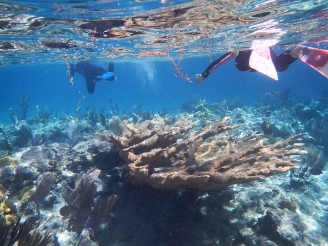
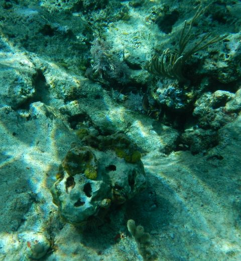
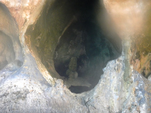
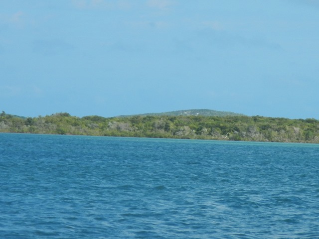
Onthe 11th I went snorkrling with Roger and Christine on Oceanus from Cambridge, MD. We drifted the length of Larry's Reef three times. This was the second time out on this reef. The first was with Spartina and Tagwottee. The pictures from both expeditions are included below.
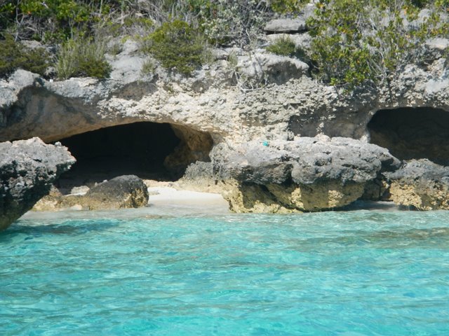
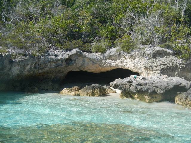
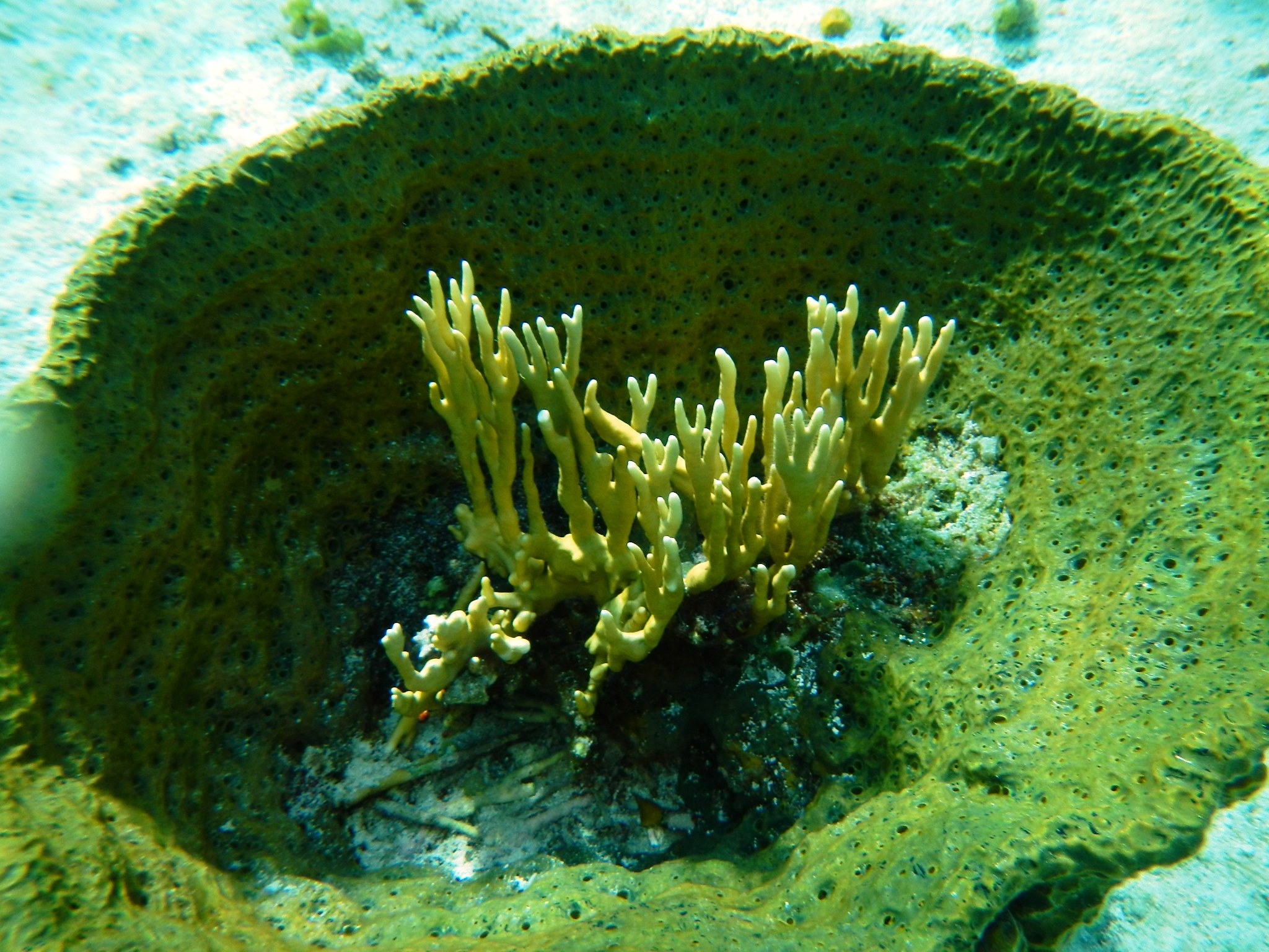
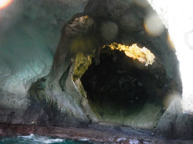
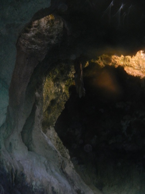
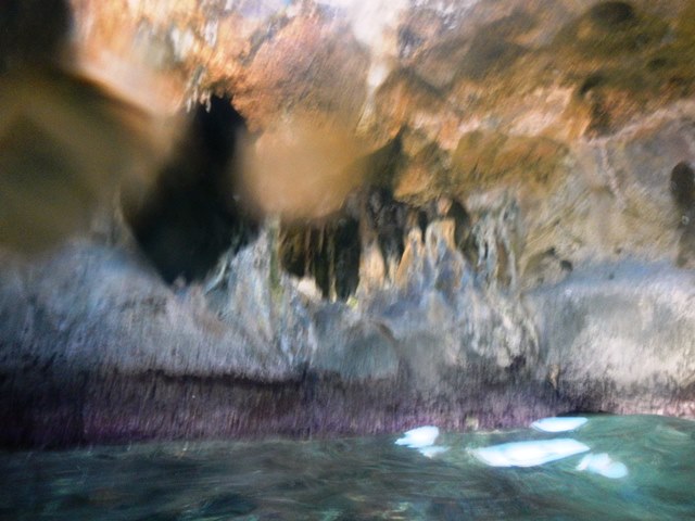
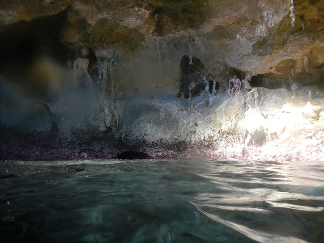
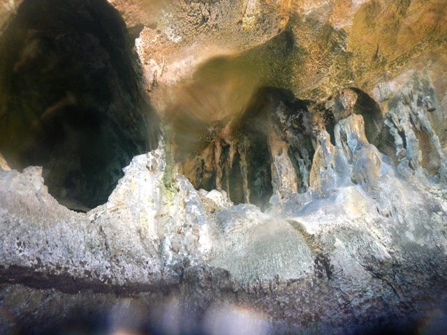
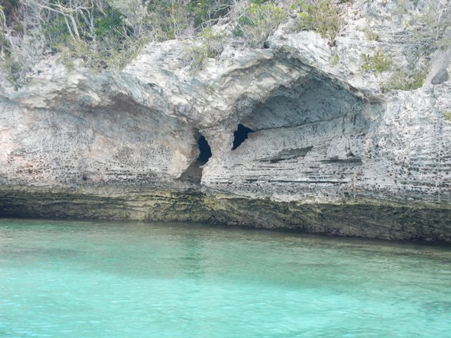
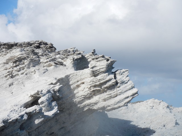
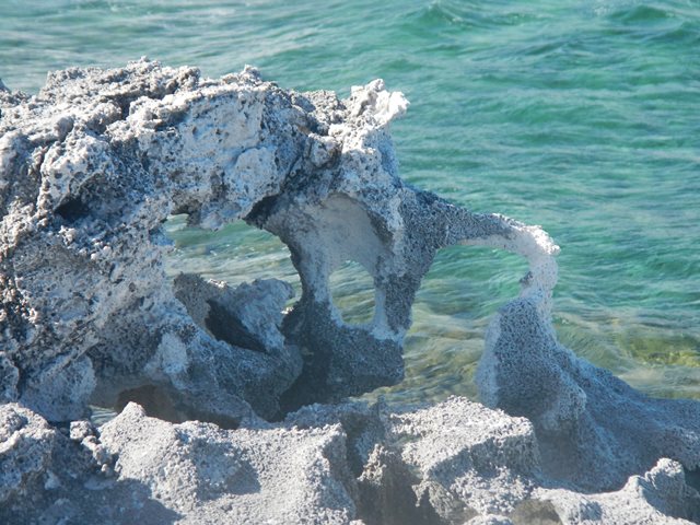
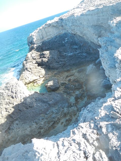
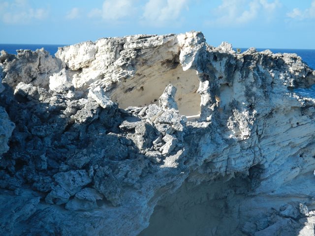
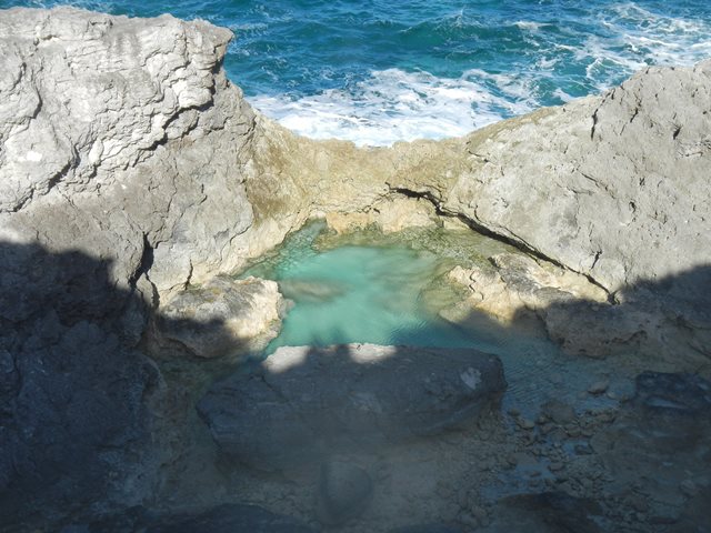
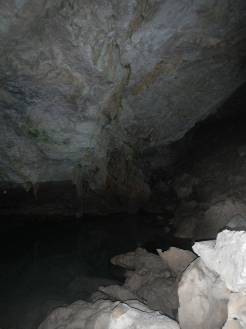
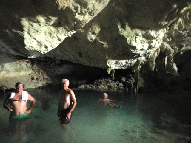
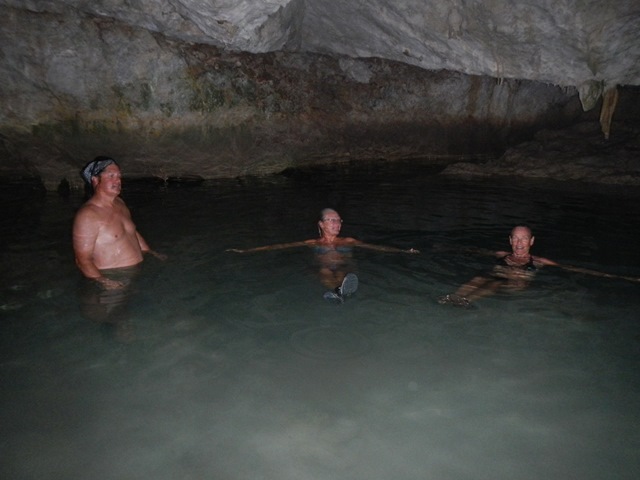
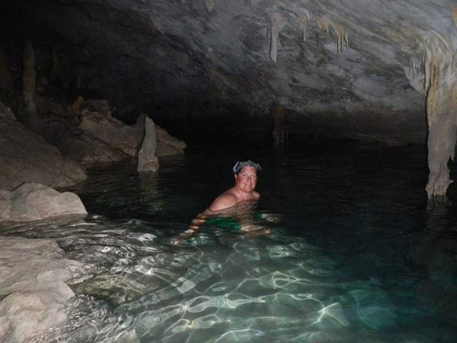
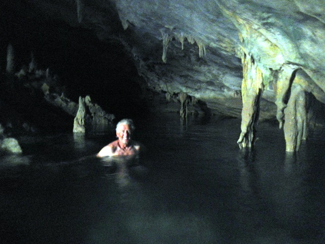
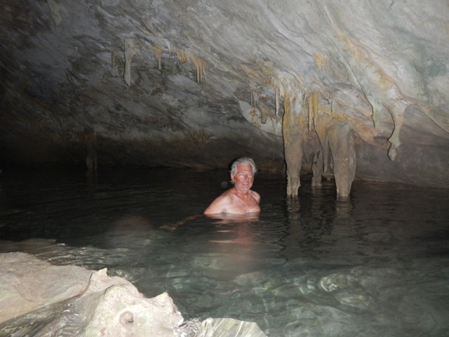
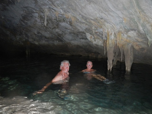
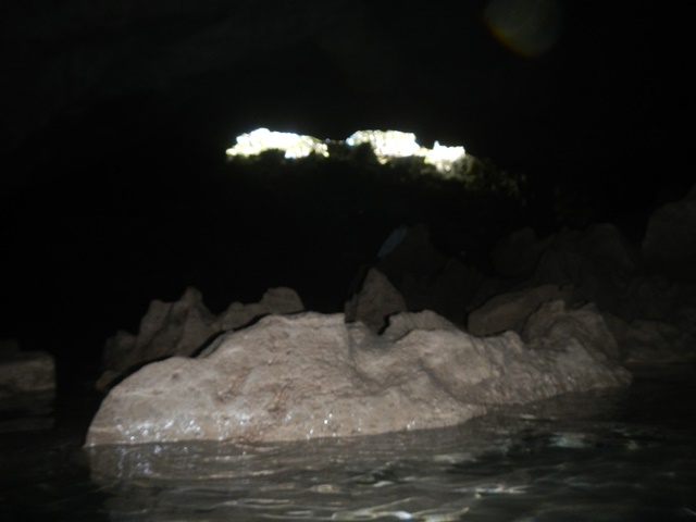
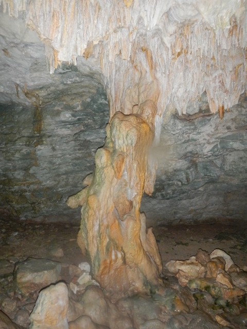
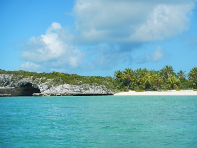
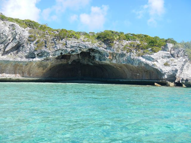
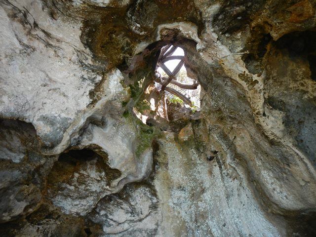
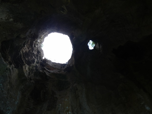
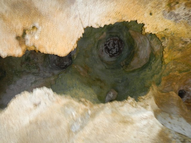
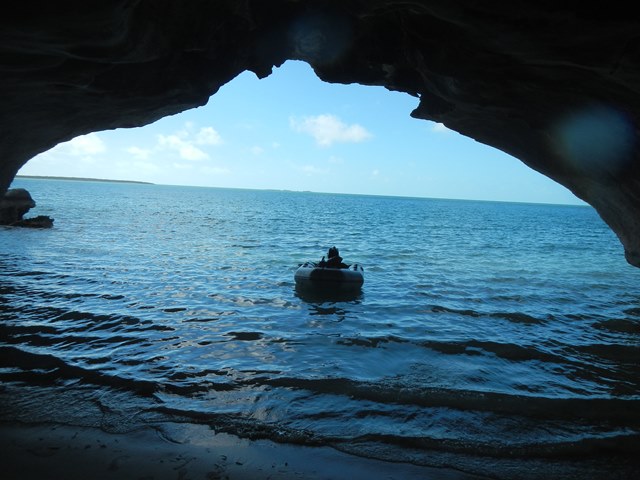
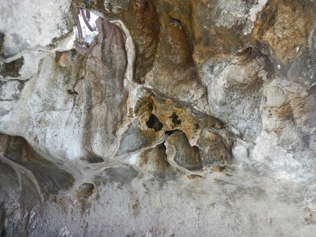
On the same day that I did the drift snorkel with Roger and Christine we also paid a visit to the Rocky Dundas They are pictured below left. The Rocky Dundas caves are thought to have been a sacred place for the Arawak indians. Behind the two cays there is an enormous midden of conch shells left by those early densizens.
On the 12th I mostly spent my time on board the boat since I have gotten too much sun and need to give my dermis a rest. Did some reading and worked on my model falsification paper that I am writing with George Lady |
|||||||||||||||||||||||||||||||||
|
February 13, 2014 Thursday |
Cambridge Cay |
||||||||||||||||||||||||||||||||
|
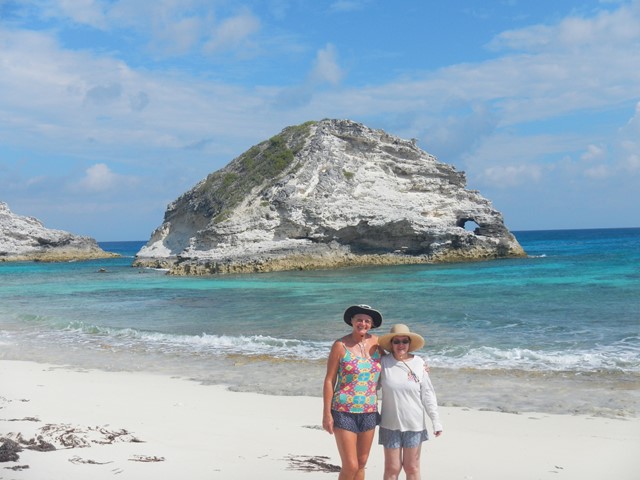
Short hike to high point of Cambridge Cay then dinner with Ann and Cindy on Krazy Lady. Bell Rock, so named for obvious reasons.
|
|||||||||||||||||||||||||||||||||
|
February 14, 2014 Friday |
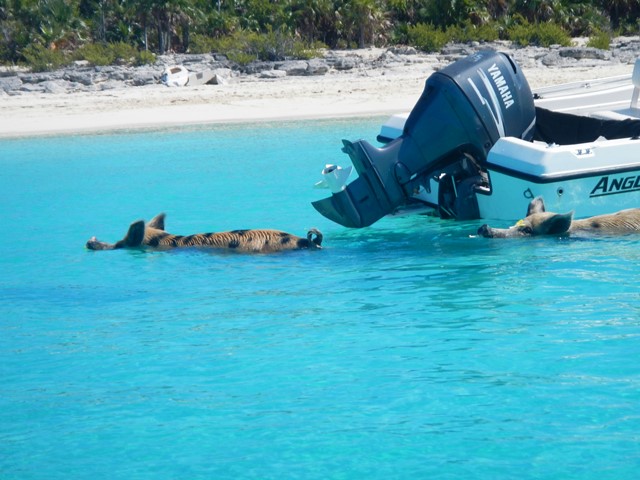
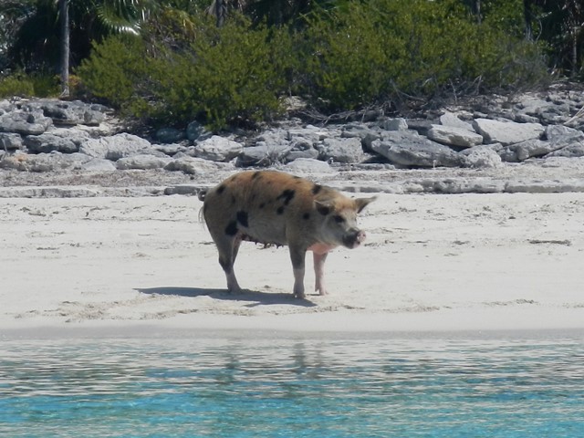
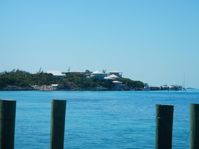
Cambridge Cay to Big Major Spot,Staniel Cay |
||||||||||||||||||||||||||||||||
|
Nice light sail all day. Went in to BATELCO office to get
my cell phone topped up and to renew my data plan for my iPad. It is alomst two miles in the dinghy each way in a very slow
dinghy. And wouldn't you know it, the BATELCO lady had taken Valentine's Day
off. About all I accomplished was buying fuel. |
|||||||||||||||||||||||||||||||||
|
February 15, 2015 |
Staniel Cay |
||||||||||||||||||||||||||||||||
|
On the boat all day. During the night the wind picked up
with a westerly component, putting me on an iron bound lee shore. It was too
choppy and too risky to leave the boat. At the end of the day things calmed
down enough to dinghy over to Dennis and Tracy on board Jalu
with their Austrian friends Rudi, Elfrede and Rudi
Jr. They had met in 2000/2001 when both families were crusining
here. |
|||||||||||||||||||||||||||||||||
|
February 16 Sunday |
Staniel Cay |
||||||||||||||||||||||||||||||||
|
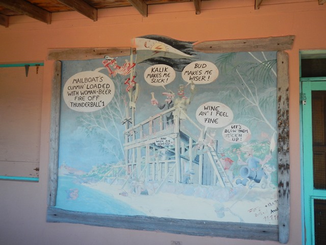
In the AM I took the dinghy to town again hoping to find distilled water for my batteries and some fresh fruit. Everthing was closed. To kill the day I walked out to the old "Thunderball Bar and Restaurant" then over to the Staniel Cay Beach.
|
|||||||||||||||||||||||||||||||||
|
February 17, 2014 Monday |
Big Major Spot to Black Point
Settlement |
||||||||||||||||||||||||||||||||
|
In the AM I dinghied into town again
to make another effort to find fruit and distilled water. No one has
distilled water! On the other hand the Pink Store and the Blue Store were
both well stocked with fresh food. On departure from Big Major I sailed wing
and wing at 5-6 knots before the wind out to Harvey Cay. On turning the
corner I was on a close reach in 15-18 knots apparent. Great sailing
conditions and I made 7 - 7.7 knots. The anchorage at Black Point is crowded,
50 boats, the most I have ever seen here. |
|||||||||||||||||||||||||||||||||
|
February 18, 2014 Tuesday |
Black Point |
||||||||||||||||||||||||||||||||
|
Laundry today! Strong cell phone signal! Free wifi! Garbage; nominally free but they ask for a
donation. Love this place. |
|||||||||||||||||||||||||||||||||
|
February
19, 2014 Wednesday |
Black
Point |
||||||||||||||||||||||||||||||||
|
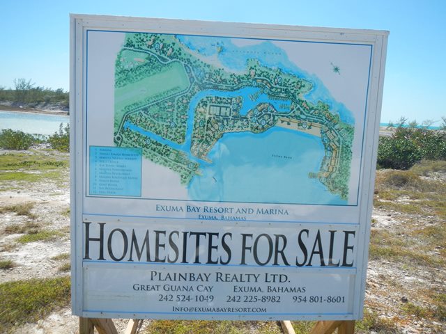
Today I got a haircut from Ida, the woman who owns/runs
the best Laundromat in the Bahamas.
Afterwards some of us walked out to what had appeared to be a stalled
resort project. Along the way we
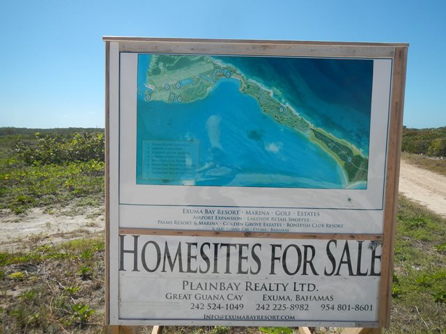
found some new roadside signs promoting the project, and further on we met Frank.
He turned out to be the nominal caretaker and the only homeowner in
the project. He regaled us with
the story of the project and his role in it. Apparently with the new
government there have been some important changes in the tax law. The exorbitant import levies on the
importation of construction materials have been lifted and there has been
renewed interest by foreigners investing in the Bahamas.
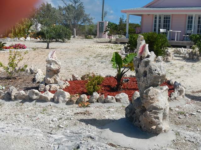
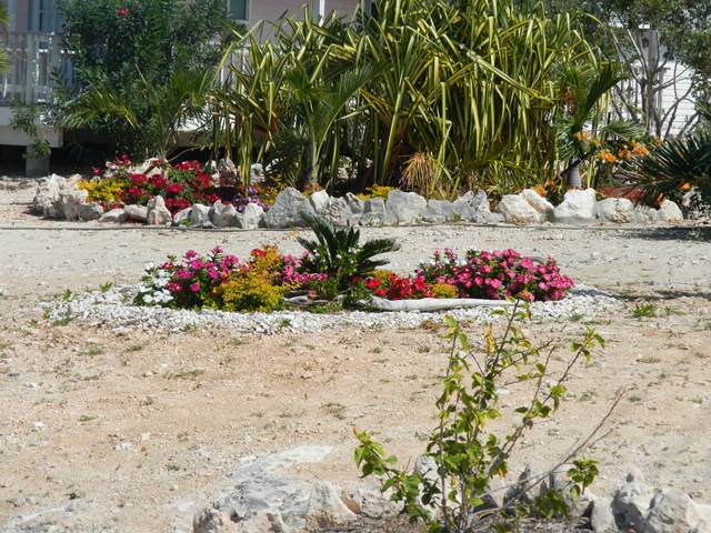
Even in a very dry cliimate an effort is made to have some color in the landscaping.
|
|||||||||||||||||||||||||||||||||
|
February 20, 2014 Thursday |
Black Point |
||||||||||||||||||||||||||||||||
|
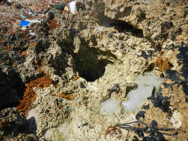
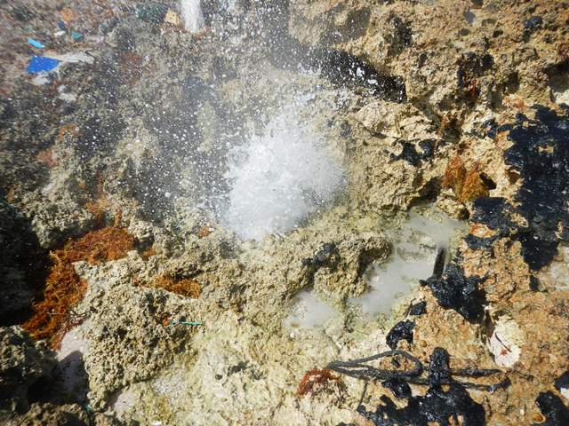
Went out walking today. On my excursion I visited the Garden
of Eden, the cemetery and the blow hole on the Exuma
Sound side of the island. At the end of the day many of the cruisers gathered
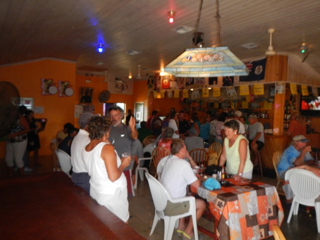
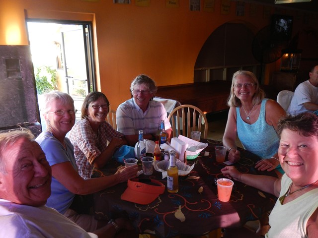
at a local watering hole known as Scorpios for their happier hour.
|
|||||||||||||||||||||||||||||||||
|
February 21, 2014 Friday |
Black Point |
||||||||||||||||||||||||||||||||
|
Today Krazy
Lady and I walked out to the white horses on the north end of Great Guana. Unless
we just didn’t know where to look, the white horses have succumbed to
erosion caused by the tides and storm action.
|
|||||||||||||||||||||||||||||||||
|
February 22, 2014 Saturday |
Black Point to Helly’s
Land |
||||||||||||||||||||||||||||||||
|
To
cover 5 miles as the crow flies it was necessary to sail ten miles. Another windward day, but a lovely
sail. More than 6 knots, close hauled. The purpose
in going to Hetty’s Land was to hike over to
the Sound side and look for the caves.
Again, we didn’t know quite where to look. If we found the correct location then
the caves have collapsed to a pile of enormous rocks. At the end of the day
Brian and Teddy Sue on Indian Summer turned up. |
|||||||||||||||||||||||||||||||||
|
February 23, 2014 Sunday |
Hetty’s Land to Oven Rock then on to Darby
Island |
||||||||||||||||||||||||||||||||
|
The
goal for the day was originally to go over to Little Farmers Cay. This had been one of my goals last
year, but the weather just didn’t make it possible. This year the plan was also scrubbed
due to the strong SW wind that made the anchorage on the west side of Little
Farmers untenable. Instead we settled for a stop at Oven Rock for the hike up
to the caves with the freshwater pond.
|
|||||||||||||||||||||||||||||||||
|
February 24, Monday |
Darby Island and Rudder Cut Cay |
||||||||||||||||||||||||||||||||
|
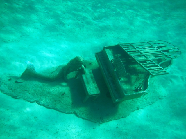
This morning Indian Summer left for George Town in order
to be sure that they would be there for incoming guests. In racing on they missed out on the
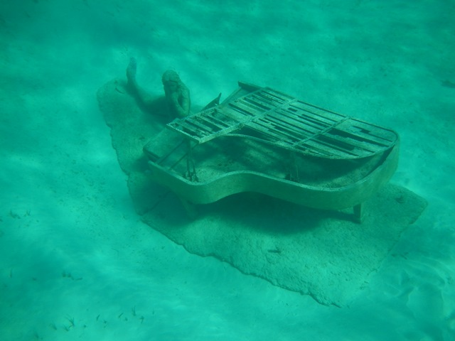
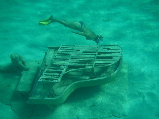
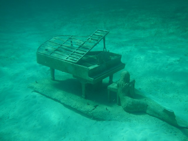
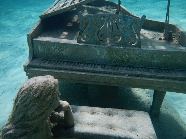
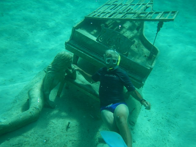
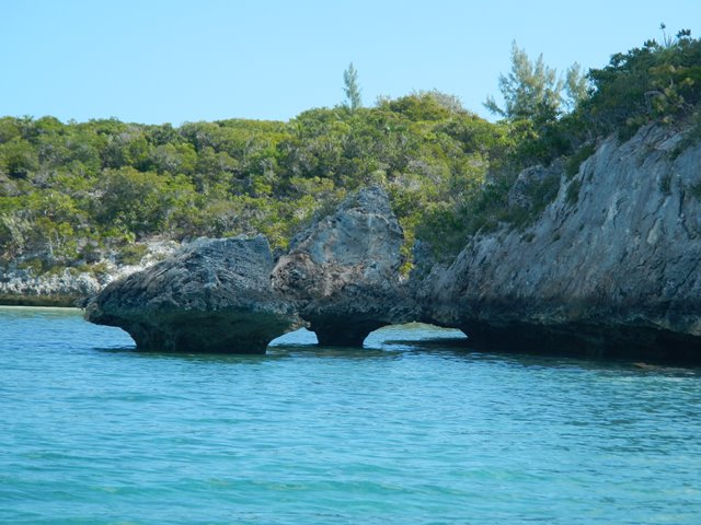
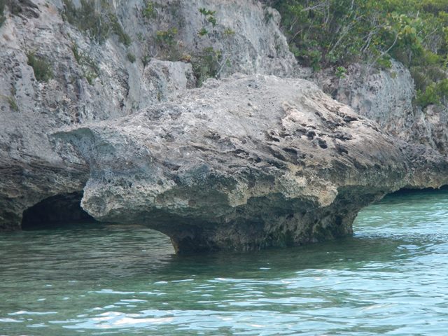
underwater sculpture and the caves on Rudder Cut Cay.
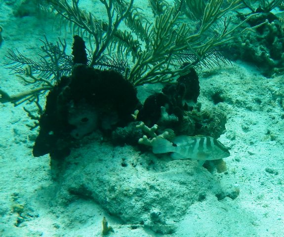
The Nassau Grouper season is closed so this guy is safe for now. He should be safe in any case since he is so small.
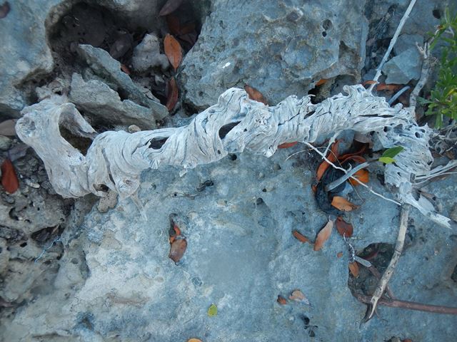
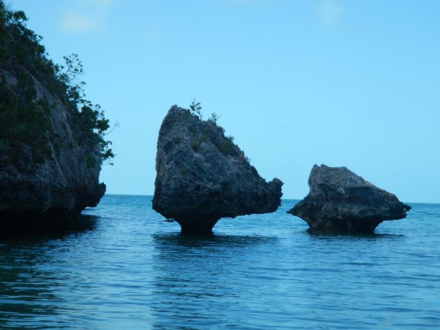
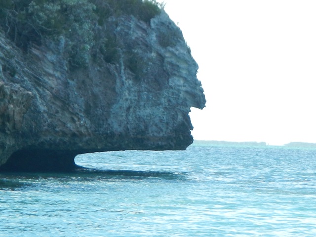
Three views of the same pair of rocks, followed by the profile of the fellow guarding the cave and rocks on the opposite side of the point housing the first cave shown above.
|
|||||||||||||||||||||||||||||||||
|
February 25, 2014 Tuesday |
Darby Island to Lee Stocking
Island |
||||||||||||||||||||||||||||||||
|
Attempted to sail for 3 nm. There just wasn’t enough
wind. When the boat speed dropped
to less than 2 knots I gave up and motored on in the company of Krazy Lady to Lee Stocking Island, former home of the
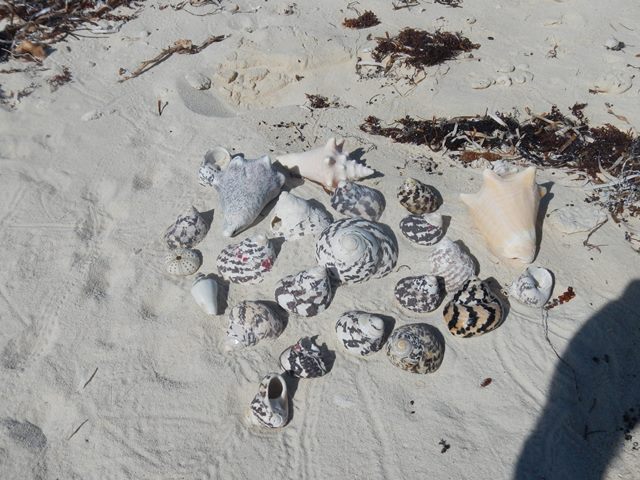
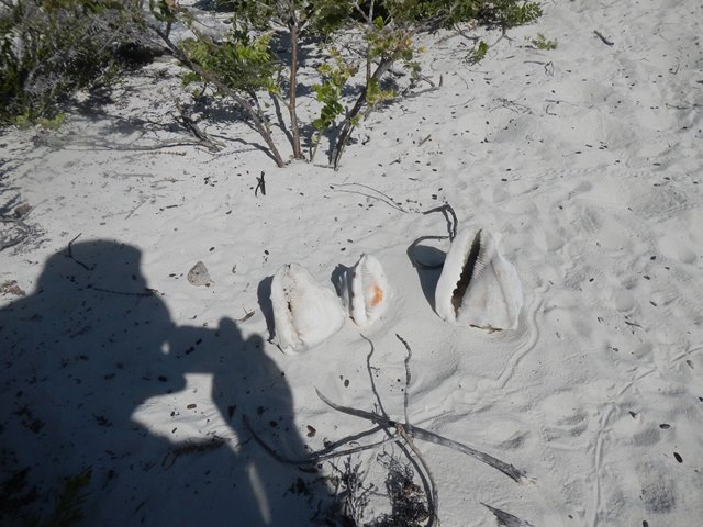
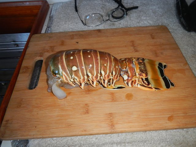
Caribbean Marine Research Lab. I was in the water for a swim when Jeff and
Susan on Meltemi came into the harbor! Ann Gates and I made our way out to the east side of the
island to hunt for fish and lobster.
I had given up and walked up the beach when Ann caught up to tell me
she had found a lobster but had not been able to spear. We quickly got back in the water and I
brought home dinner for that night.
Big feast on Meltemi.
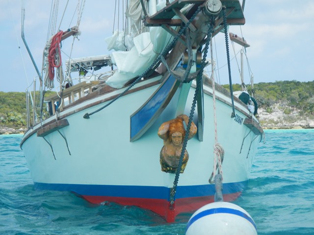
We were joined in the little harbor by the sailing vessel Poco Loco, a Chesapeake Bay bug eye skipjack with a mermaid figurehead on the bow. On board were Bob and Diane with crew Ronnie.
|
|||||||||||||||||||||||||||||||||
|
February26, 2014 Wednesday |
Lee Stocking Island |
||||||||||||||||||||||||||||||||
|
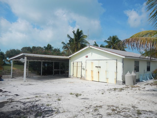
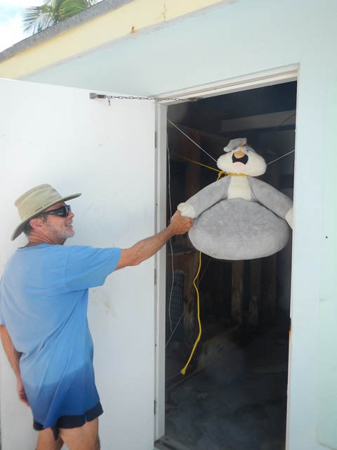
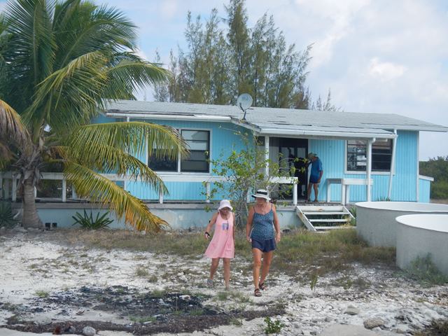
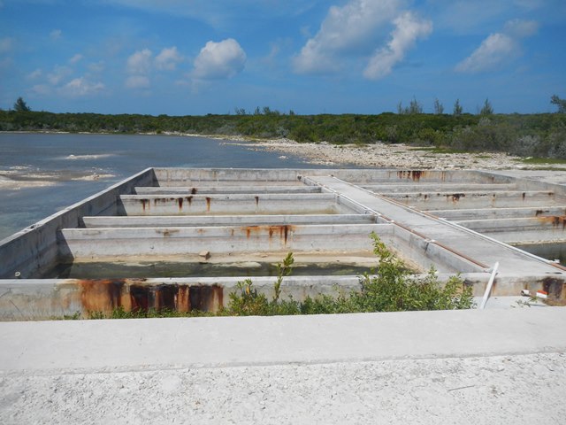
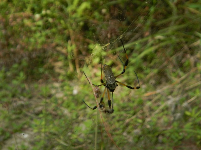
With Jeff, Susan and Ann I
explored the abandoned/vacant research center and the northern end of the
island.
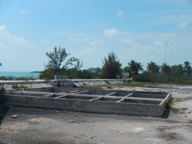
In the row below on the right are the 'pens' where the staff raised conch for research.
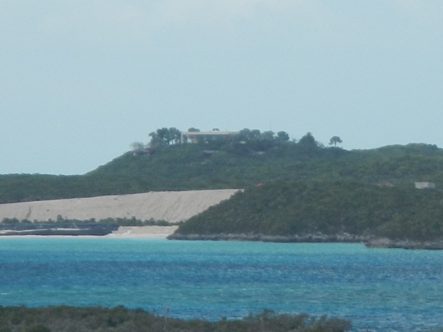
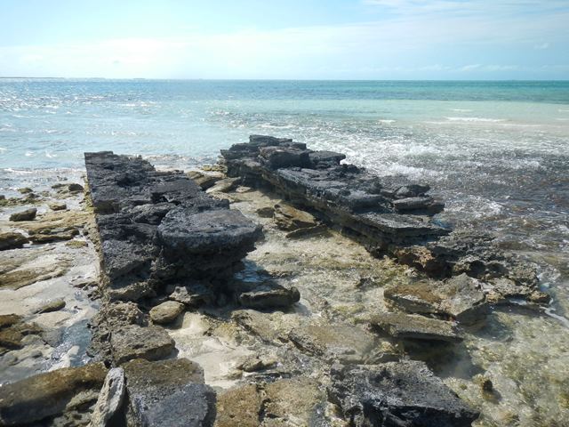
To get the scientists in and out of Lee Stocking there was an airstrip. The control tower at one of the strip is pictured below:
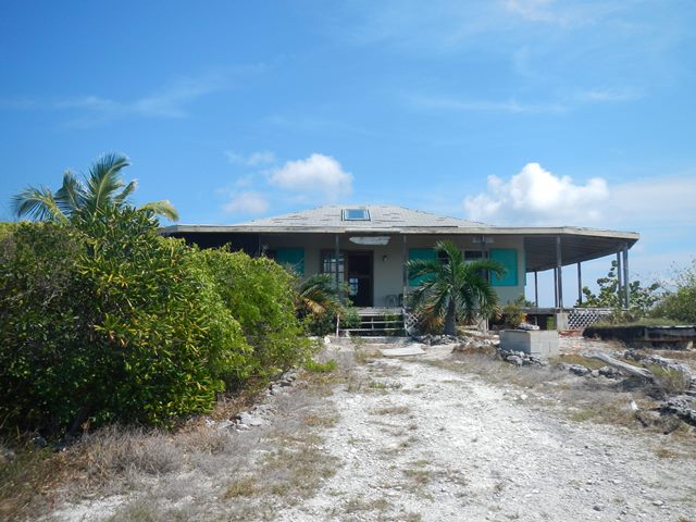
This house is built on a high point at the north end of Lee Stocking Island. It has 360o views of the Sound, the banks and the surrounding cays.
On our explorations of the north end of the island we came across this spider:
|
|||||||||||||||||||||||||||||||||
|
February 27, 2014 Thursday |
Lee Stocking Island |
||||||||||||||||||||||||||||||||
|
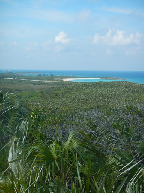
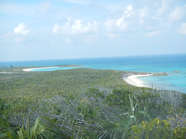
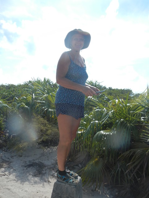
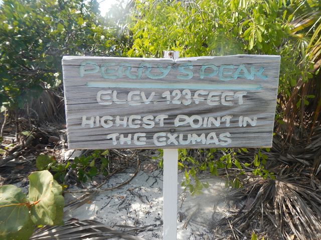
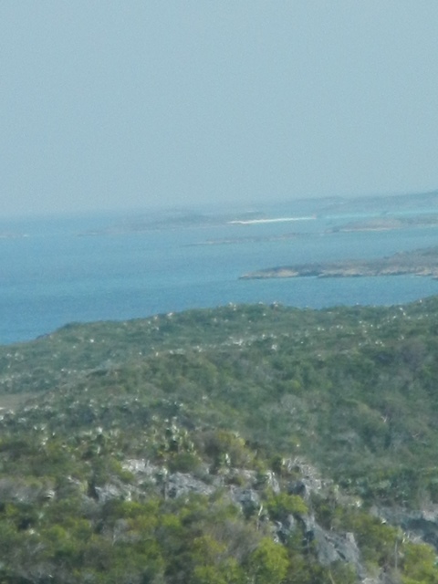
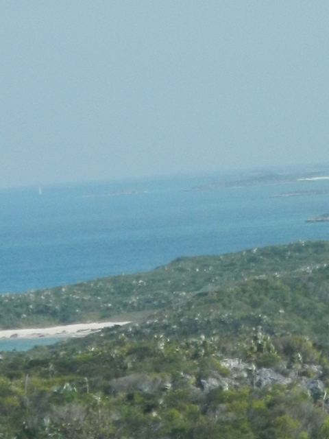
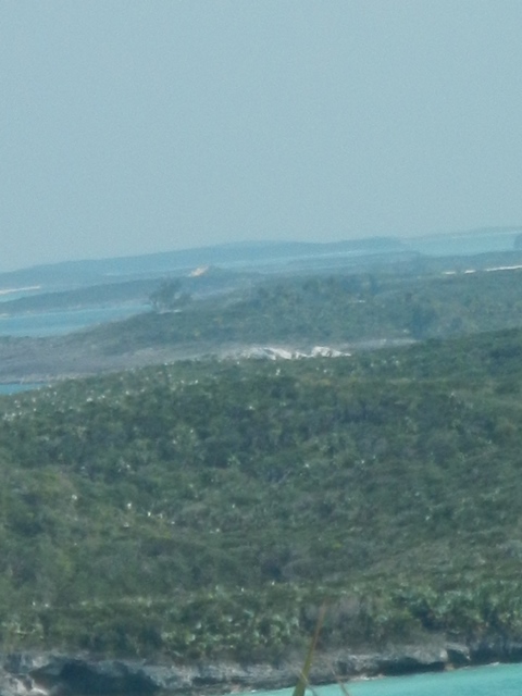
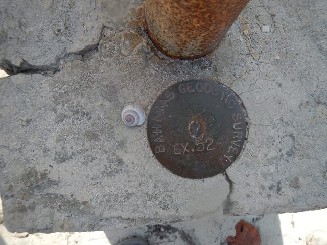
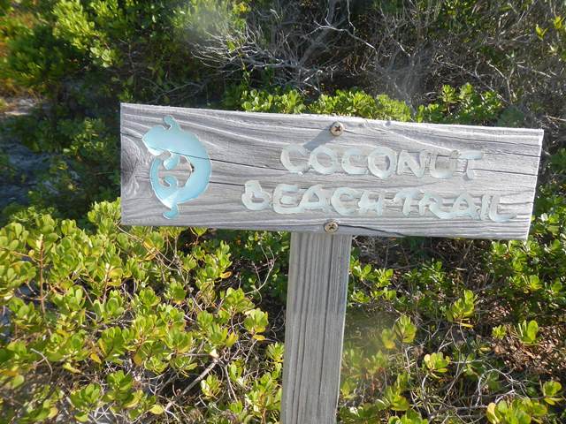
Today Ann and I hiked to the highest point in the Exuma island chain.
At the trail head we met a young couple that were
kayaking/camping around the islands from Norman’s Pond and Lee Stocking
down to Barre Terre on Great Exuma.
|
|||||||||||||||||||||||||||||||||
|
February 28, 2014 Friday |
Lee Stocking Island |
||||||||||||||||||||||||||||||||
|
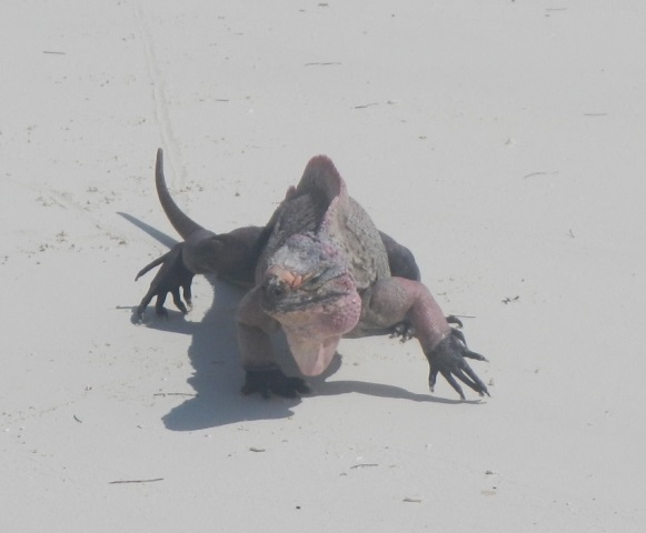
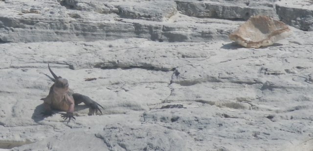
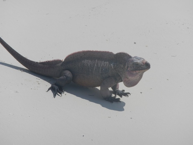
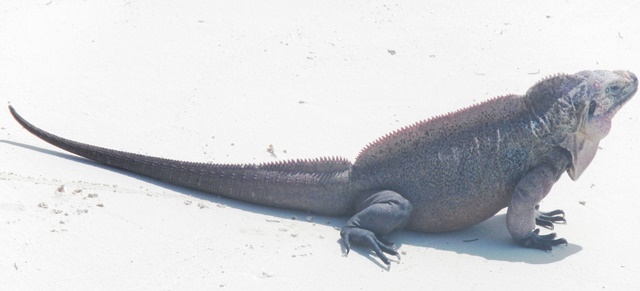
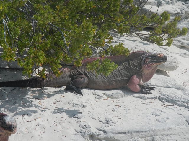
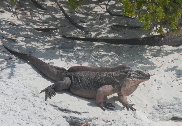
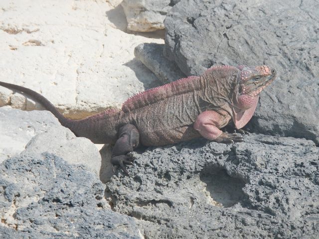
Today’s expedition had several intentions. The first was to go up to Leaf Cay to
see the pink iguanas and the second was to get in the water to look for more
lobster. The first goal was met,
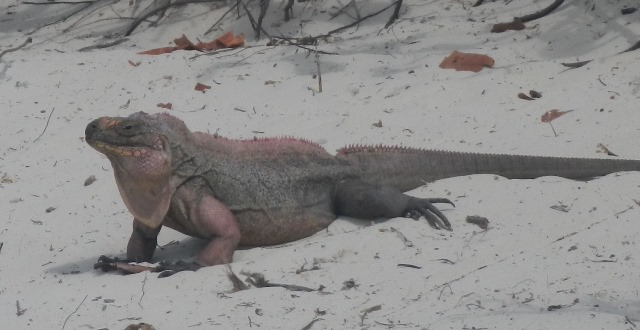
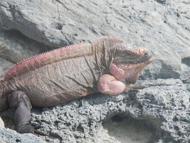
but the wind and tides were not right for hunting for lobster. The pink iguanas are so large and so striking that I include many photos of them here.
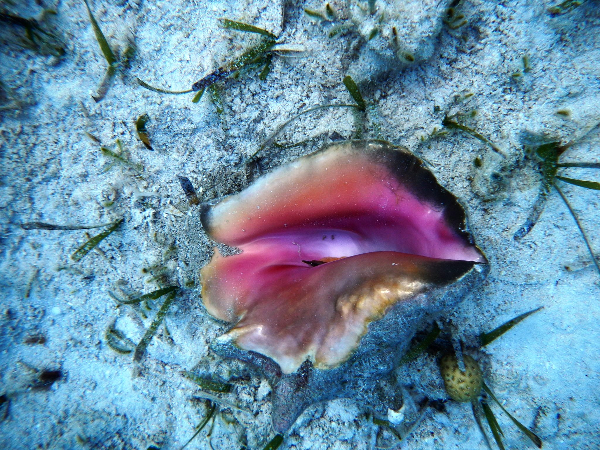
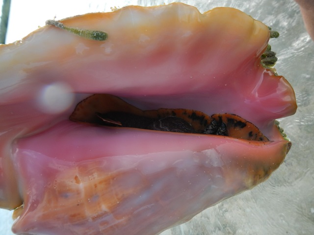
From Leaf Cay we took the dinghy around to the west side of Norman's Pond to get access to the former salt ponds and ruins. Along the way we came to the conclusion that there ought to be many Conch out on the grassy flats. We didn't habe our snorkel gear with us to test the hypothesis, and probably wouldn't have taken any in any case since they are difficult to clean.
|
|||||||||||||||||||||||||||||||||
|
Back to January 2013 |
|||||||||||||||||||||||||||||||||